
Know Where the Fish Are. Before You Leave the Dock.
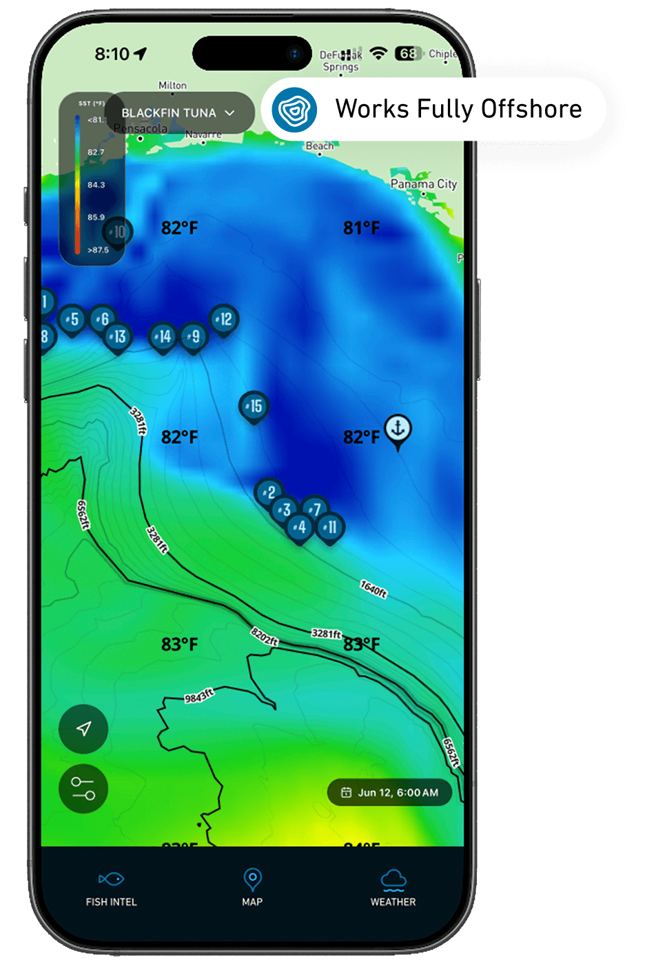
Breakpoint turns live ocean data into ranked fishing hotspots for the species you’re chasing. Real-time sea temperature, chlorophyll, currents, and bathymetry — distilled into a map that tells you exactly where to run. Spend less time searching, more time hooked up.


What Breakpoint Reads
Every Signal the Ocean Gives. On One Map.
Six ocean layers, fused into species-specific intelligence — so you read water like a captain with 30 years offshore.

Sea Surface Temperature
Find the breaks and thermal edges where bait and predators stack up.

Chlorophyll & Color
Track productivity and water color to locate the green-to-blue edge.

Ocean Currents
Animated current vectors reveal rips, eddies, and feeding lanes.

Bathymetry & Structure
Depth contours, ledges, reefs, and rigs that hold fish.

Wind & Waves
Marine forecasts so you fish the conditions, not against them.

Thermocline Insight
Mixed-layer depth and water-column structure at any point.

Species Hotspots
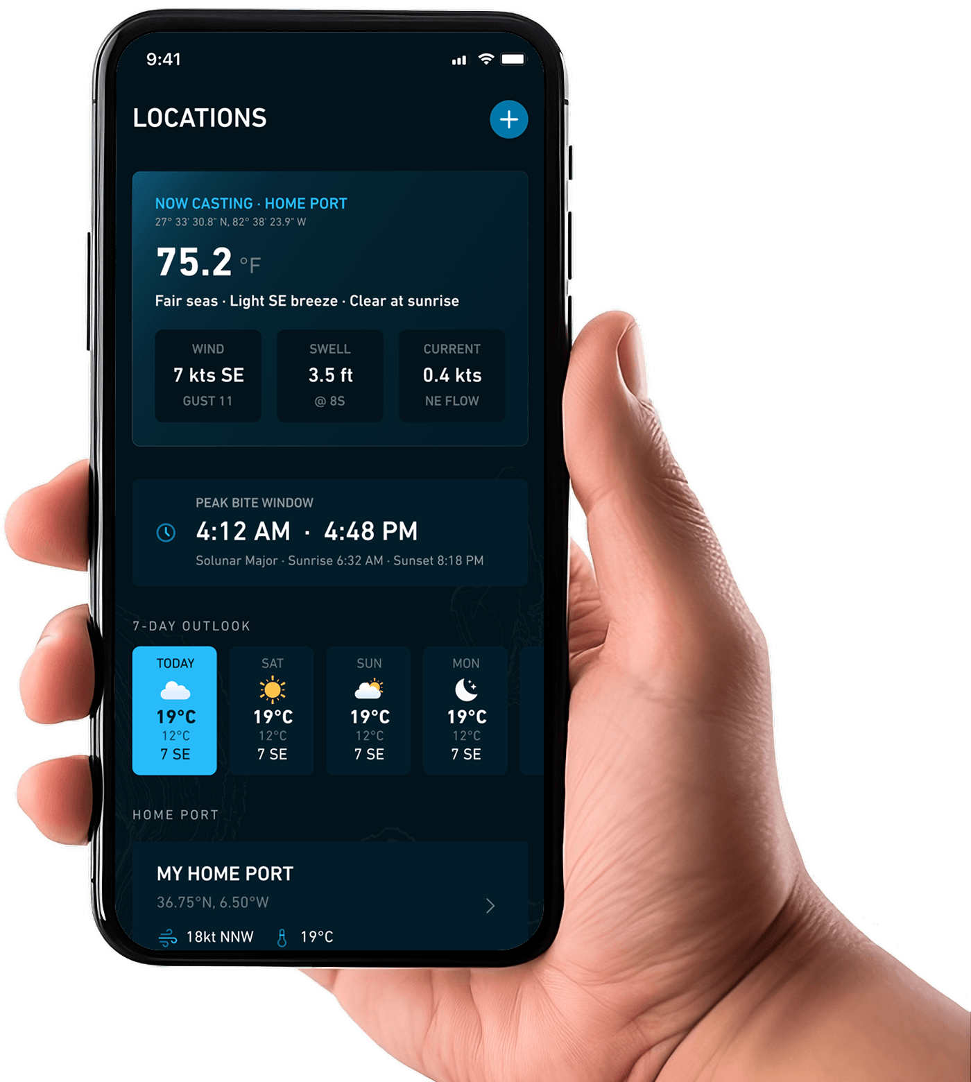
Ranked, tappable spots tuned to the fish you're targeting.
Focused on the Catch
More Fish, Less Guesswork Every Trip.
Plan the perfect run
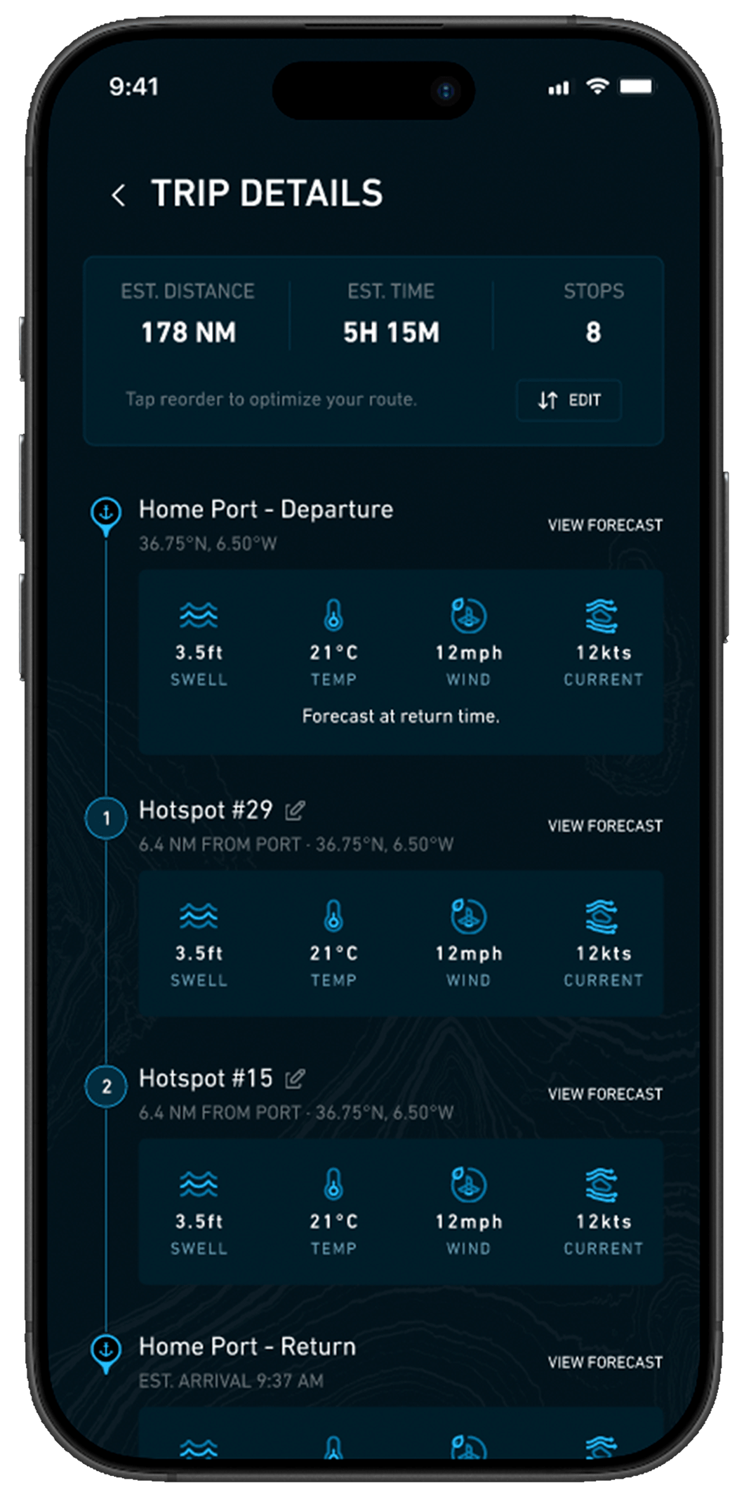
Know exactly where to point the bow before you leave the dock — saving fuel, time, and guesswork.
Read every layer at once
Temperature, chlorophyll, currents, and structure fused into one decision-ready map.
Always up to date
Conditions refresh continuously, so you fish the ocean as it is right now — not yesterday.
Your Best Day Starts the Night Before.
Plan tomorrow’s trip from the couch: pick your species, see where the intelligence points, build your route, and download it for offline. By the time you hit the inlet, the hard part’s already done.
How It Works
Download. Pick Your Target. Run the Numbers.
No spreadsheets, no chart-plotter wizardry. Breakpoint does the heavy lifting so you can focus on the bite.
1. Download & Set Your Home Port
Create your profile and drop your home port. Breakpoint tailors everything to your waters.
2. Choose Your Species & Date
Select your target — tuna, mahi, wahoo, cobia, mackerel — and the day you're fishing.
3. Run to the Hotspots
Get your ranked spots, build a route, download for offline, and head out.
FAQs
Questions From the Cockpit
How often is the data updated?
Ocean layers and hots
pots refresh on a six-hour cycle (00, 06, 12, 18 UTC), built from live Copernicus Marine and bathymetry data.
Does it work offshore with no signal?
Yes. Download your region before you leave — maps, ocean layers, and hotspots all work fully offline.
Which species and regions are covered?
Pelagics like yellowfin & blackfin tuna, mahi, wahoo, cobia, and king/Spanish mackerel across the Gulf of Mexico today, with Atlantic and Pacific regions rolling out.
How accurate are the hotspots?
They're scientific guidance, not a guarantee — a weighted model of temperature, productivity, currents, depth, and fronts that puts you on the right water far faster than searching blind.
Can I cancel anytime?
Absolutely. Plans are month-to-month or annual, cancel whenever — your logged catches and waypoints stay with you.
Blog
Check the latest news from the water.
Hello world!
Welcome to WordPress. This is your first post. Edit or delete it, then start writing!

Planning Tomorrow’s Trip the Night Before
The best fishing days are won from the couch. A simple pre-trip routine for picking your species, building a route, and downloading it for offline.
Chlorophyll and the Green-to-Blue Edge
Water color tells a story about productivity. Learn how chlorophyll concentration points you toward the cleanest feeding water before you ever leave the dock.