



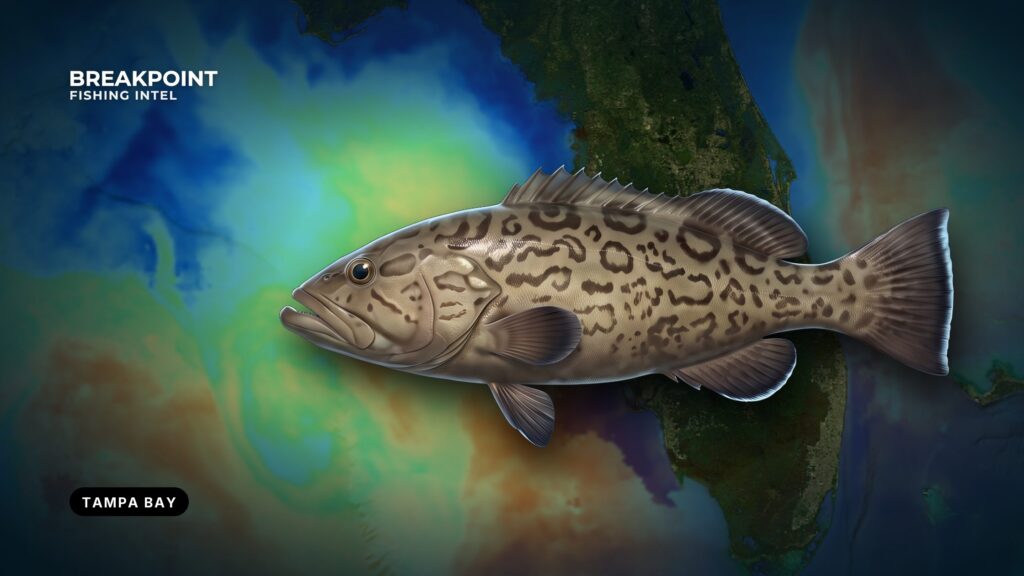
Gag grouper fishing off Tampa Bay comes down to a short chain of decisions: which pass you run, which public reef or ledge you fish, what the water is doing, what you tie on, and which agency’s rules apply where you stop the boat. As the Gulf cools in fall, gag move onto nearshore reefs, bay rock piles and the edges of the shipping channels, all within reach of a bay boat.
This guide covers Tampa Bay water only. Biology, general tackle and range-wide patterns are in our gag grouper guide. Here you’ll find the passes, the named public structure, the fall timing, the rigs that suit this bottom, and the state and federal rules, linked to the agencies that set them.
Where you launch and run
The pass you choose decides which structure you can reach without wasting fuel. Match the ramp to the ground you want to fish.
- Fort De Soto: the public launch at the mouth of the bay, close to Egmont Key and the Egmont Channel.
- Pass-a-Grille: the southern Pinellas exit to the nearshore Gulf.
- John’s Pass: the mid-Pinellas beaches and the county reefs off them.
- Clearwater Pass: northern Pinellas.
Egmont Channel is the shipping route in and out of Tampa Bay, so give ships the channel. The Port Manatee channels are both a shipping route and fishing structure, so keep track of traffic while you fish an edge.
Plot the run from your ramp on the chart before you leave. Arrive early and have a backup ramp in mind, since lots fill on busy fishing days. Wind, wave height and period determine whether the run through the pass and back is safe, so let the NWS marine forecast make the call.
Structure and water
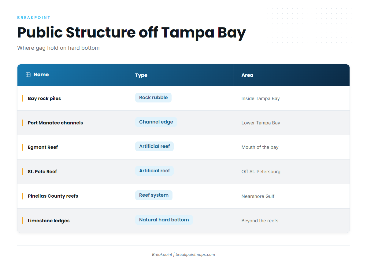
Gag off Tampa Bay hold on hard bottom: artificial reefs, rock piles, channel edges and natural limestone ledges. Bay structure and nearshore Gulf structure fish differently, so plan for both.
Working outward from the bay, the water breaks down into four steps:
- Bay rock piles and the Port Manatee shipping channel edges.
- Egmont Reef and St. Pete Reef.
- The Pinellas County and Hillsborough County artificial reef systems in nearshore Gulf waters.
- Natural limestone ledges and hard bottom between and beyond them.
| Name | Type | Area | How to fish it |
|---|---|---|---|
| Bay rock piles | Rock rubble | Inside Tampa Bay | Troll deep-diving plugs pile to pile; live bait at anchor on a single pile |
| Port Manatee shipping channels | Channel edge | Lower Tampa Bay | Troll along the edge with plugs running just off the bottom; watch ship traffic |
| Egmont Reef | Artificial reef | Near Egmont Key, mouth of the bay | Anchor up-current and swing back onto it with live pinfish |
| St. Pete Reef | Artificial reef | Off St. Petersburg | Live bait at anchor; drift the edges to locate fish |
| Pinellas County artificial reefs | Artificial reef system | Nearshore Gulf off the Pinellas beaches | Read the bottom, then anchor or drift live bait |
| Hillsborough County artificial reefs | Artificial reef system | Nearshore Gulf off Tampa Bay | Same as above |
| Limestone ledges and hard bottom | Natural | Between and beyond the reefs | Find the edge on Chart Contours, then troll or bait the drop |
County reef numbers mark a deployment point, and the material may sit away from it, so read the bottom before you drop. Busy public reefs see heavy pressure and short fish are common, so be ready to release.
Finding the named reefs and the ledges between them is a map problem. Breakpoint’s Chart Contours and reef waypoints show the hard-bottom edges, so you can see where the bottom changes before you burn fuel looking. Chart layers are not for navigation.
Season
Fish move inshore as the Gulf cools in fall, and the open season starts September 1. The overlap of those two things is the window. Cooling water pushes gag onto nearshore reefs, bay rock piles and channel edges within bay-boat range, which is why a small boat can fill a limit close to the passes.
The legal calendar is tighter than the biology. Federal waters are closed January 1 to August 31 and open September 1. NOAA announces the close each year, and FWC matches state waters by executive order. See the Regulations section for where to check.
Watch OBS SST to follow the fall cooling along the coast and onto the shelf off Pinellas. Cloud blocks satellite passes, so a gap in the layer is a gap in the data, not in the water.
Two checks before every run:
- Red tide: check the FWC red tide status before you go.
- Weather: read wind, wave height and period from the NWS marine forecast.
Tactics
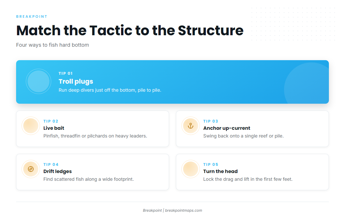
Match the tactic to the structure and depth. These are not sequential steps; pick the one that fits the ground under the boat.
Trolling plugs over shallow hard bottom
Use a deep-diving plug in the Mann’s Stretch 25 class, or a big soft plastic on a planer or downrigger. Run it just off the bottom, from rock pile to rock pile or along a channel edge. This covers ground quickly and finds fish before you commit to an anchor.
Live bait on reefs and ledges
Live pinfish, threadfin and pilchards are the baits that work here. Rig them on heavy leaders, because the first run goes straight for the rock. Circle hooks are required with natural bait, as covered in the Regulations section.
Anchor or drift
Anchor up-current and swing back onto a single reef or pile when fish are concentrated on one piece of structure. Drift when fish are scattered along a ledge or across a wide reef footprint and you need to find where they sit. Once a drift marks fish, anchor on them.
The first few feet
The fight is won by turning the fish’s head in the first few feet. Lock the drag and lift before it reaches the rock. Have the dehooking and descending devices ready before the drop, because short and out-of-season fish come up too. General rigging depth is in the gag grouper guide.
Longer runs
State waters end at 9 nautical miles on the Gulf side. Beyond that line, the Gulf Council and NOAA Fisheries set the rules.
Past the county reefs sit deeper natural ledges and the Florida Middle Grounds, a limestone ledge system far offshore. Gag form spawning aggregations there, "in water no shallower than 120 feet in Middle Grounds area, January through March," according to gag spawning aggregation details. The gag season is closed in those months.
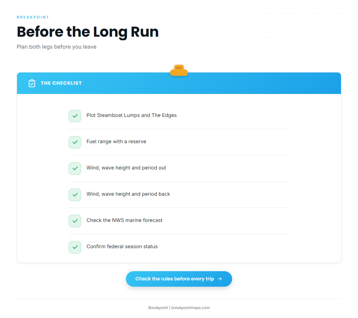
Two closed areas lie on the way out. Steamboat Lumps (28°03′ to 28°14′ N, 84°37′ to 84°48′ W) is closed to fishing all year. The Edges is closed to all fishing January through April. Both are set in the federal closed area rules. Plot both before the run.
Plan the trip around these checks:
- Fuel range with a reserve for the return leg.
- Wind, wave height and period for both legs of the run.
- The NWS marine forecast before you leave the dock.
FAQ
Is gag open for gag grouper fishing off Tampa Bay?
Gag opens September 1 in state and federal waters. NOAA Fisheries announces the federal close each year, and FWC sets state waters to match. Check the FWC grouper page and the NOAA bulletins before you go.
Do I need the State Reef Fish Angler designation as a visitor?
Yes, if you are 16 or older and keeping gag from a private boat. It is free, renewed yearly and covers state and federal waters. You also need a Florida saltwater license.
Which rules apply past 9 miles?
Beyond 9 nautical miles, federal rules from the Gulf Council and NOAA Fisheries apply. The size and bag limits match the state’s, but the season dates can differ.
What release gear do I need?
You need non-stainless-steel circle hooks with natural bait, a dehooking device, and a descending device or venting tool rigged and ready. In state waters the descending device needs at least a 16-ounce weight and 60 feet of line.
How do I tell gag from red grouper on this structure?
Gag carry a darker, mottled pattern, while red grouper have a more uniform reddish-brown body. If you are unsure, check the fish against an agency identification guide. Red grouper has a 20-inch minimum and is open year-round, so a gag released out of season may share the box with a legal red.
Can the captain keep a gag on a charter?
No. The captain and crew bag limit for gag on for-hire trips is zero.
Before you leave the dock
Run the chain once more: pass, structure, conditions, rig, rules. The first four get you to the fish, and the last decides what you can keep.
If you want the hard-bottom edges and the named reefs on one map before the run, find your port in the state and port guides on breakpointmaps.com.