



King mackerel fishing off Morehead City runs through one inlet and a string of numbered reefs. The city sits about 4 miles inside the Beaufort Inlet channel entrance, and state artificial reefs are charted within about 12 nautical miles of the jetty in Onslow Bay. This page covers getting out through the inlet, where kings hold by distance and depth, when to go, what tactics suit this water, and how the rules apply. The aim is a better decision about where to look first; it makes no promise of fish.
The king mackerel guide covers biology and rigging. This page stays with Beaufort Inlet and the water off it.
Getting Out: Morehead City and Beaufort Inlet
Morehead City sits on the west side of the harbor, about 4 miles above the channel entrance, and Beaufort sits on the east side. The inlet opens to Onslow Bay, with the Newport River, Bogue Sound and the Intracoastal Waterway behind it. The U.S. Coast Pilot 4 chapter for Cape Lookout to Cape Fear is the official description of the approach, and it names Cape Lookout Shoals as the principal danger.
Ramps and fuel
Public ramps and fuel docks:
- Morehead City Boating Access Area: Run by the North Carolina Wildlife Resources Commission, behind the Visitor Center on the Intracoastal Waterway.
- Beaufort Boating Access Area: Run by the Wildlife Resources Commission, on Taylor’s Creek at Graydon Paul Park.
- Fuel: Morehead City Yacht Basin, Town Creek Marina and Beaufort Town Docks all list fuel.
What the inlet does
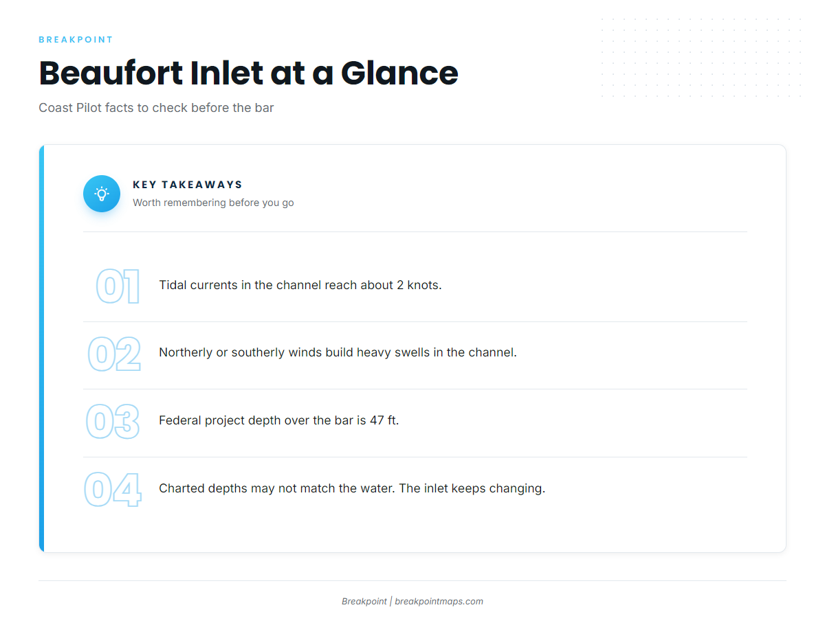
The Coast Pilot gives these facts to plan around:
- Heavy swells build in Beaufort Inlet Channel with northerly or southerly winds.
- Tidal currents along the channel reach about 2 knots.
- At the Morehead City Channel entrance, current usually sets across the channel near the end of the flood and the start of the next ebb.
- The federal project depth over the bar is 47 ft.
- Cape Lookout Shoals are the principal danger in the approach.
- Deep-draft ships use the harbor, and the pilot boat monitors VHF 13, 14 and 16.
Beaufort Inlet changes continually, so charted depths over the bar and near the dredged-material dump site just west of the entrance channel may not match the water. Check wind with a north or south component against the tide before you commit to the bar.
Where to read conditions
The NWS Newport/Morehead City marine forecast covers coastal zones out to 20 nm and 60 nm. Pull wind speed and direction and wave height and period for the zone that covers your reef. The 20 nm zone covers every nearshore reef in the table below, while the run to AR-302 at 33.7 nm puts you in the outer zone.
Before the run, compare the forecast with the NDBC buoy observations map. Observed seas show how far off the forecast is.
Where Kings Hold off Morehead City
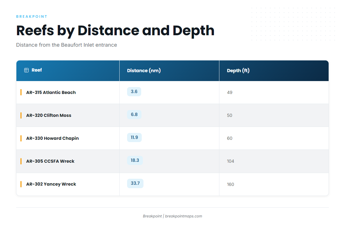
State reef sites are charted within about 12 nm of the inlet jetty. Distances and depths below come from the NCDMF artificial reef guide.
| Reef | AR number | Type | Distance from entrance (nm) | Depth (ft) |
|---|---|---|---|---|
| Atlantic Beach Reef | AR-315 | Reef | 3.6 | 49 |
| Clifton Moss Reef | AR-320 | Reef | 6.8 | 50 |
| Howard Chapin Reef | AR-330 | Reef | 11.9 | 60 |
| Carteret County Sportfishing Association Reef | AR-305 | Wreck | 18.3 | 104 |
| Yancey Reef | AR-302 | Wreck | 33.7 | 160 |
Swipe the table sideways to see every column.
AR-340 and AR-345 lie 13.8 and 14.2 nm from the Beaufort Inlet sea buoy. Those distances are measured from the sea buoy rather than the entrance, so don’t compare them directly with the table.
Choosing by distance and depth
Pick the reef to fit the forecast zone, rather than the other way around.
- AR-315, AR-320 and AR-330: These sit at 49 to 60 ft and keep the run short. They suit a day when you want to stay inside the 20 nm zone and save fuel.
- AR-305 and AR-302: These wrecks add depth and distance. At 104 and 160 ft, and 18.3 and 33.7 nm out, they fall under a different forecast picture, and AR-302 puts you in the 60 nm zone.
Each choice decides where to look first and says nothing about whether fish are there.
Cape Lookout Shoals
Cape Lookout Shoals is the principal approach hazard in the Coast Pilot and also a named feature east of the inlet. It is structure that shapes the water, so read the chart before you run and don’t wander in on a guess.
You can view these reefs and the bottom around them on Chart Contours in the Breakpoint app. Chart layers are not for navigation.
When Fall King Mackerel Show Up
Autumn is king mackerel season on the Crystal Coast. Kings follow water temperature and the bait that comes with it. Where the warm and cooler water sits off Cape Lookout and across Onslow Bay tells you whether to start on the nearshore reefs or run farther.
Cloud can block a satellite SST pass, so check how recent the image is. Before the run, check OBS SST for where the warm and cool water sits off Cape Lookout.
Tactics That Suit This Water
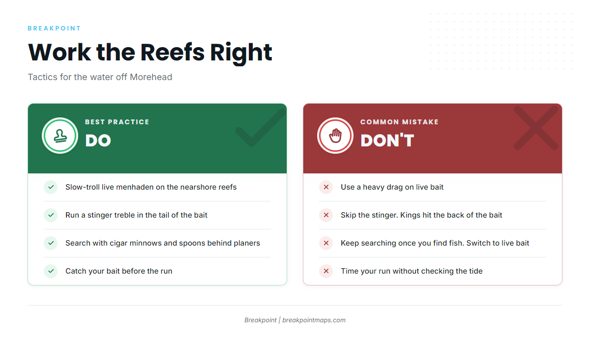
Slow-trolling live menhaden on the nearshore reefs
Slow-trolling live bait is the standard method for big kings. On AR-315, AR-320 and AR-330, at 49 to 60 ft, run a light drag on live menhaden. Put a stinger treble in the tail, because kings hit the back of the bait. For rigs and trolling speeds, see the species guide.
Covering water
Between reefs, or over the deeper wrecks, search with dead cigar minnows and spoons behind planers. Treat this as a search method, then switch to slow-trolling live bait once you find fish.
Bait
Menhaden and cigar minnows are both standard baits. Catching your own before the run is part of the day, so plan your bait stop around your inlet timing.
Inlet timing
The cross-channel current and the 2-knot tidal flow matter when you time the run out and back. Check the inlet facts above before you set your departure.
Spanish mackerel are a common nearshore companion on these same reefs.
Frequently Asked Questions
How far do I run for kings out of Morehead City?
The nearshore reefs sit 3.6 to 11.9 nm from the entrance, at 49 to 60 ft. The wrecks AR-305 and AR-302 sit at 18.3 and 33.7 nm. Match the run to the NWS zone forecast for the reef you pick.
Which reef is closest to Beaufort Inlet?
Atlantic Beach Reef (AR-315) is the closest, at 3.6 nm and 49 ft. It sits near the 3-mile line between state and federal water.
When is the best time for king mackerel here?
Autumn is the local season. Water temperature decides where to look, so check SST before the run to see where warm and cool water sits off Cape Lookout.
Do I need a license past 3 miles?
The Coastal Recreational Fishing License covers North Carolina coastal waters out to 3 miles for anglers 16 and older. You run through state water to reach every reef, so carry it. Check NCDMF before fishing.
What are the size and bag limits?
The NCDMF table and the federal rule both list 24" fork length and 3 per person per day, with no closed season. Check NCDMF, the SAFMC and NOAA Fisheries before fishing, since federal management can change.
Where do I check the Beaufort Inlet forecast?
Use the NWS Newport/Morehead City marine forecast, which covers zones out to 20 and 60 nm, and the NDBC buoy observations. Read wind, wave height and period.
Which boat ramps are public?
There are two Wildlife Resources Commission Boating Access Areas. One is in Morehead City, behind the Visitor Center. The other is in Beaufort, on Taylor’s Creek at Graydon Paul Park.