



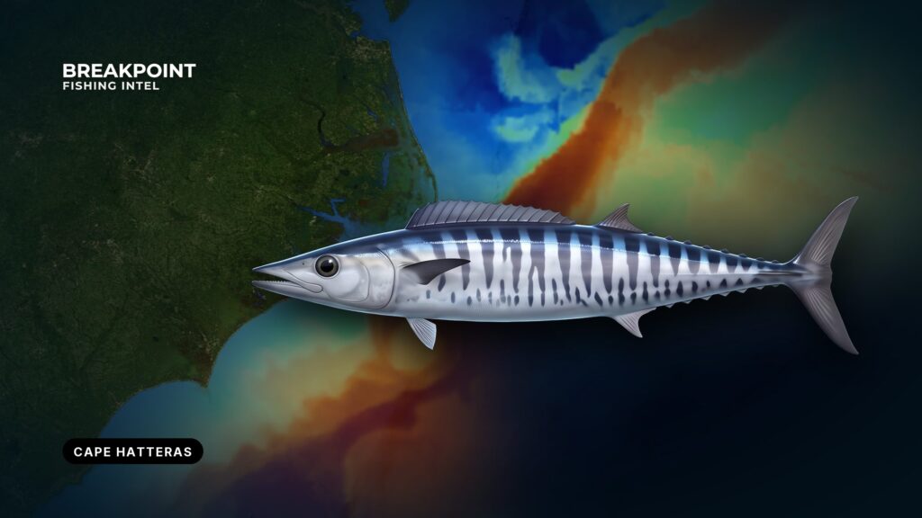
Hatteras puts the Gulf Stream edge and hard-bottom ridges within reach of a private boat. A wahoo trip here starts at a shifting inlet, crosses water that rewards planning, and ends on rocks that hold fish when the edge sits right. Biology and general rigging are covered in our wahoo guide. This page covers the inlet, the shoals, the rocks, the water, and the rules.
Getting Out of Hatteras Inlet
Hatteras Village sits 3 miles northeast of Hatteras Inlet. Its harbor reaches the Atlantic through the dredged Hatteras Inlet Channel and a shifting-bar inlet. Read the NOAA Coast Pilot 4 chapter before your first run. On the approach, it says:
- The inlet is entered over a bar that shifts continually.
- A lighted whistle buoy marks the approach.
- The buoys over the bar are not charted, because they are moved often.
- Tidal currents in the channel through the inlet reach about 2 knots and are influenced by wind.
The dredged channel shoals quickly between dredgings. The Hatteras Connector replaced the old South Ferry Channel, and shoaling remains in several areas. The USCG North Carolina port status lists the inlet as open with frequent shoaling and shifting bottoms.
Rollinson Channel is the Pamlico Sound approach to the harbor, and the Coast Pilot says strangers should not attempt it at night. Pamlico Sound also holds fishtraps, stakes, and pound nets, some of them submerged. That matters if you launch on the sound side with a trailer boat.
Go by the current buoy positions rather than an old track, and read the wind against the ebb before you commit to the bar.
Oregon Inlet is the alternate departure at the north end of the Hatteras Island chain. Hatteras Inlet is closer to the southern rocks and the Point.
Ramps and Fuel
- Teach’s Lair Marina at Hatteras Landing: ramp and fuel.
- Hatteras Harbor Marina: fuel.
Read Before the Bar
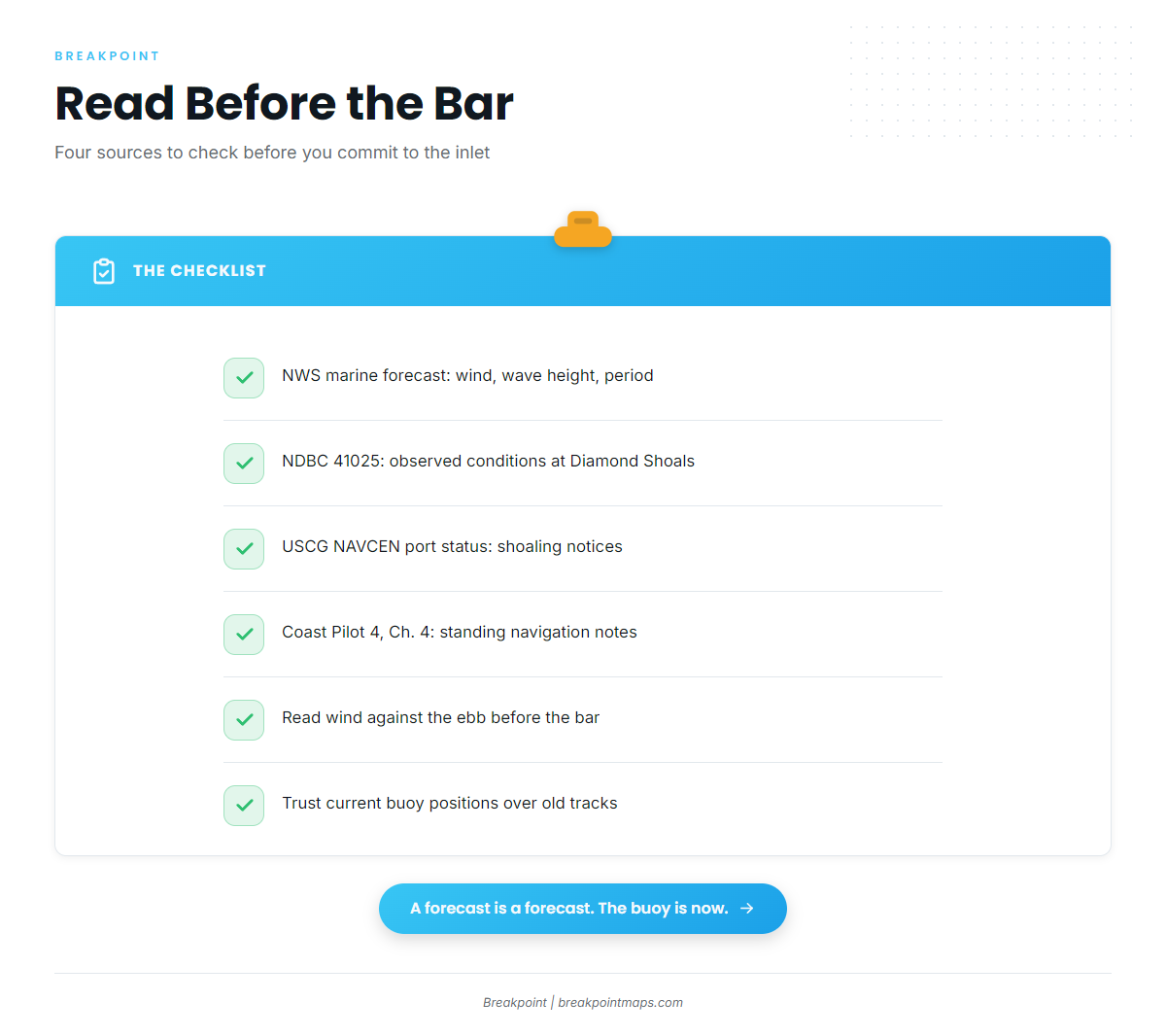
Check these before you leave the dock:
- Newport/Morehead City marine forecast: wind, wave height, and period for the zone.
- NDBC Station 41025, Diamond Shoals: observed wind, wave height, and dominant period.
- USCG NAVCEN port status: shoaling notices for the inlet.
- Coast Pilot 4, Chapter 4: the standing navigation notes for this coast.
The forecast is a prediction, and the buoy reports conditions now at a single point. Neither tells you what the bar is doing under your boat.
Prevailing winds near Cape Hatteras run north through northeast in the cooler season and southwest in summer. Fall trips often carry a northerly component.
Diamond Shoals and the Point
Diamond Shoals extend about 9 miles southeast from Cape Hatteras, and the shoaler parts are as shallow as 3 feet. The Coast Pilot says the area’s hydrography is not charted because it keeps changing, and currents set across the shoals with great velocity in strong winds.
Captains follow a simple rule here:
- Stay in 120 feet, preferably 180 feet, when your position is uncertain.
- Use Diamond Shoals Lighted Buoy 12 as the guide for clearing the shoals.
- Plan the track before you leave, not at the buoy.
The USS Monitor National Marine Sanctuary lies south of the shoals and is about 1 mile across. Know where it is when you lay out a track.
The Point is where the Gulf Stream meets cooler inshore water off the cape, which is why the edge sets up close to the beach here.
Chart layers are not for navigation. Use the Coast Pilot and official NOAA charts.
Where Wahoo Hold: The Rocks and the Shelf Edge
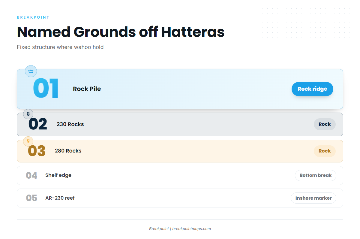
Fish hold on fixed structure. These are the named grounds off Hatteras:
| Ground | Type | Role for wahoo |
|---|---|---|
| Rock Pile | Rock ridge | Classic wahoo structure south of Cape Point |
| 230 Rocks | Rock | Hard bottom to work along the ridge line |
| 280 Rocks | Rock | Hard bottom farther along the same trend |
| Shelf edge | Break where the bottom drops off | The line the Gulf Stream edge works against |
| AR-230 artificial reef, off Hatteras Inlet | Reef | A nearer reference and inshore marker, not a primary wahoo spot |
Wahoo hold on the inshore or upcurrent side of structure. Capt. Kenny Koci says as much in a Salt Water Sportsman wahoo feature, and he works the rock pinnacles from the Rock Pile to the 200 Rocks with that in mind.
The rocks stay put while the water over them moves. Chart Contours shows the rock ridges and the shelf break, so you can lay passes across the upcurrent face before you leave. Chart layers are not for navigation. Use the Coast Pilot and official charts.
Reading the Gulf Stream Edge
The Gulf Stream edge sets up close to Cape Hatteras and moves from day to day. Temperature breaks, color change, and weedlines mark where warm Stream water meets cooler inshore water. For the mechanics, see how eddies and current edges concentrate bait.
The cues that matter on this coast:
- A temperature break that crosses a rock ridge.
- A weedline sitting on a break.
- A green-to-blue color change over the shelf edge.
- Floats and debris riding the line.
Read the OBS SST and Chlorophyll layers for the edge position before you leave the dock, and look for where the break crosses the Rock Pile or the 230 and 280 Rocks. Cloud cover blocks satellite passes, so a cloudy day can leave gaps. Check the buoy and your own temperature gauge on the way out.
Dolphin, blackfin tuna, and yellowfin tuna work the same edge, so expect a mixed bag.
When to Go
Hatteras Village species lists put wahoo in summer and autumn. Capt. Kenny Koci says Hatteras has produced wahoo in every month.
Fall suits a trailered trip. The northerly prevailing wind in the cooler season shapes the go or no-go call, so read the forecast and the buoy against it.
Winter is possible, but it depends on where the edge sits. Read OBS SST and the buoy before you commit. The data shows where the edge is and says nothing about whether fish are on it.
Tactics That Work Here
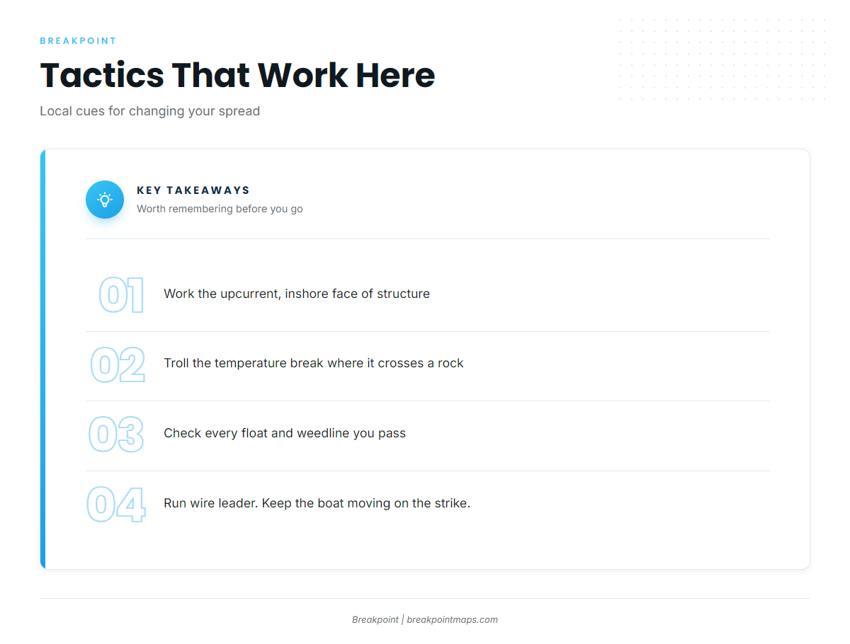
Work the upcurrent side. Run passes across the upcurrent and inshore face of the Rock Pile, the 230 Rocks, and the 280 Rocks. Fish the shelf edge the same way.
Make edge passes. Troll along and across the temperature break where it meets structure. When you get a strike, turn back through the zone.
Fish floats and weedlines. Hatteras wahoo favor floats and weedlines. Pass close and check every float.
Match speed to the spread. High-speed trolling with lures built to track at speed covers ground between pieces of structure. Skirted ballyhoo at standard trolling speed fits a mixed edge spread where dolphin and tuna also bite.
Control depth. Planers or trolling weights put baits deeper when fish sit below the surface.
Choose color. According to Jason Snead, dark colors such as purple, black, and dark red are a local preference. Flash and Mylar get used as well.
Rig for the teeth. Use wire leader.
Handle the hookup. Do not slow down hard on the strike, because slack lets the fish throw the hooks. Never wrap wire around your hands or wrists.
FAQ
Which inlet is closer to the wahoo grounds off Hatteras?
Hatteras Inlet sits closer to the Rock Pile, the 230 and 280 Rocks, and the Point. Oregon Inlet is the northern alternate.
What is the wahoo limit off North Carolina?
2 per person per day in state and federal waters, with no minimum size. Check NCDMF and NOAA Fisheries before fishing.
Do I need a CRFL 10 miles out?
Ten miles out is federal water. The CRFL covers NC Coastal Fishing Waters, from 0 to 3 miles, which you cross on the run. Check NCDMF for how it applies to your trip.
Do I need a federal permit for wahoo?
No. Private recreational anglers need none. For-hire vessels need the Atlantic Dolphin and Wahoo charter/headboat permit.
When do I need an HMS permit?
When the trip targets tuna or billfish, which are HMS species. Check NOAA HMS.
Can I fillet wahoo at sea?
No. Keep it with head and fins intact in federal waters, and head and tail attached under NC rules.
Can I catch wahoo off Hatteras in winter?
It is possible. Hatteras has produced wahoo in every month, but a winter trip depends on where the Gulf Stream edge sits. Read OBS SST, the buoy, and the forecast first.
How do I tell a wahoo from a king mackerel?
Check the identification section of our wahoo guide before you leave the dock. The rules differ: king mackerel carry a 24-inch fork length minimum and a 3-fish bag in both state and federal waters.