



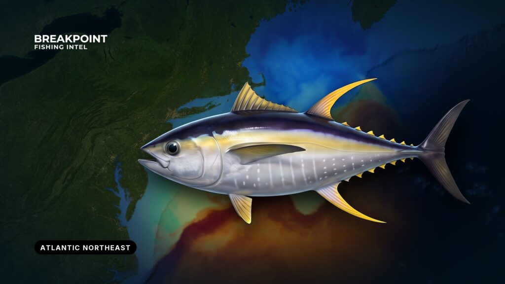
Yellowfin tuna in the Atlantic Northeast are a canyon and shelf-edge fish. They follow Gulf Stream water north, and the places to start looking are where that water meets the canyon walls.
The ground runs from the Gulf of Maine and Georges Bank through Southern New England and the New York Bight, out to the shelf edge and the canyons. For the rest of the region’s species and grounds, see the Atlantic Northeast fishing guide. Montauk, Point Judith and Cape Cod are common departure ports for canyon trips.
This guide covers where yellowfin are found, when they arrive, the water and structure that hold them, how anglers fish for them, and how federal and state rules divide. Breakpoint’s aim is to explain why fish hold where they do, so you can make a better decision about where to look.
Identification and Biology
Yellowfin are a highly migratory tuna. Anglers check the long yellow, sickle-shaped second dorsal and anal fins and the yellow finlets first. Full identification and biology are in the yellowfin tuna species guide.
Identification matters on this coast because bluefin share the same grounds. Bluefin have their own size classes and in-season limits, and every retained or dead-discarded bluefin must be reported within 24 hours. A wrong call on the deck can break the law.
NOAA groups bigeye, albacore, yellowfin and skipjack as the "BAYS" tunas. Bluefin sit in a separate management category.
Where Yellowfin Are Found
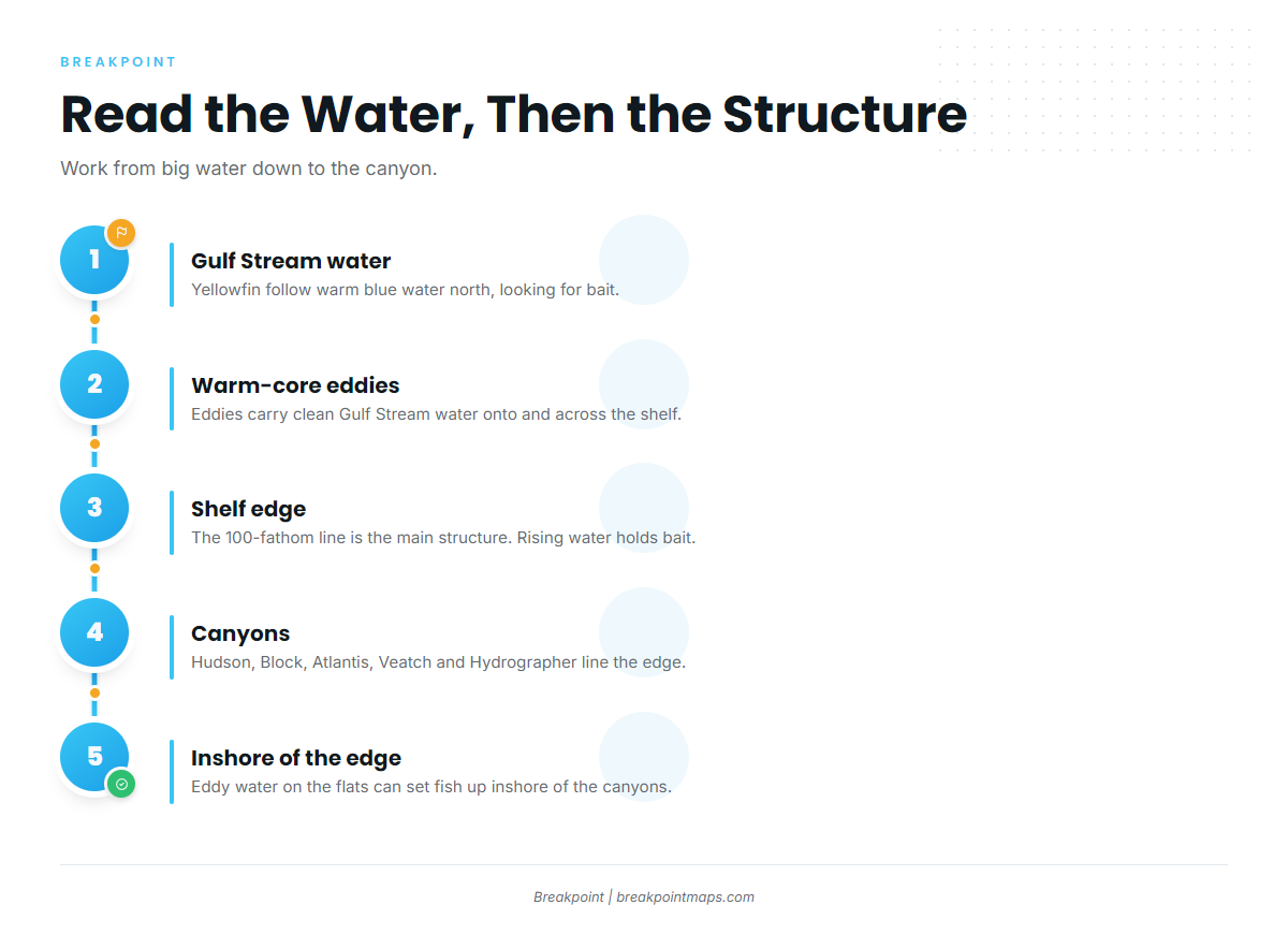
Think in layers: Gulf Stream water first, then the shelf edge, then the canyons.
Gulf Stream Water and Warm-Core Eddies
Yellowfin, mahi and billfish move north with Gulf Stream blue water, looking for bait. Warm-core eddies spin off the Gulf Stream and carry that clean water onto and across the shelf, which puts yellowfin within reach of Northeast ports.
The Shelf Edge and the 100-Fathom Line
The shelf edge and the 100-fathom line are the main structure. Water rising up the slope concentrates bait, and bait holds the fish.
The Canyons
Five canyons anchor the fishery, running along the shelf edge from the New York Bight east toward Georges Bank:
- Hudson Canyon: the westernmost of the group, cut into the shelf edge off the New York Bight.
- Block Canyon: east of Hudson, on the shelf edge south of Block Island and Montauk.
- Atlantis Canyon: farther east along the shelf edge, toward the Southern New England canyons.
- Veatch Canyon: a Southern New England canyon on the same edge, east of Atlantis.
- Hydrographer Canyon: the easternmost of the five, toward Georges Bank.
Where an edge sits over a canyon corner matters more than the canyon’s name.
Inshore of the Edge
When eddy water rides up onto the flats, yellowfin can set up inshore of the canyons. Northeast anglers report finding yellowfin in shallower water than they used to.
Gulf of Maine and Georges Bank
The Gulf of Maine and Georges Bank mark the northern and eastern extent of the region.
When
Fish arrive in early summer as Gulf Stream water and eddies push north. They hold through summer and stay into fall, when the last pockets of warm water keep fish around after the shelf cools.
The calendar matters less than where the warm water sits, and an eddy that moves onto the shelf can change the picture in a day.
These fish are part of a wider migration. Tagging work by NOAA Fisheries, the University of Maine and the New England Aquarium is tracking Atlantic yellowfin tuna movements from the Northeast canyons to the Gulf and the Caribbean. They are the same population anglers target in yellowfin tuna fishing in the Atlantic Southeast.
Plan the run around wind speed and direction, wave height and wave period, and check the NWS offshore forecast before you leave.
Water and Structure
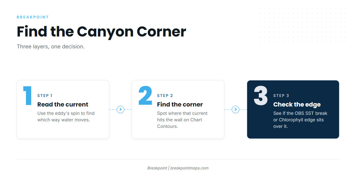
Yellowfin respond to several cues at once. Read them together and a big ocean narrows to a few miles.
Temperature Breaks
Yellowfin work along temperature breaks while feeding, often swimming perpendicular to them, so fish the break by crossing it as well as running along it.
Read the SST edge against Chart Contours. A break lying over a steep contour change is a stronger bet than a break over flat bottom.
Warm-Core Eddies and Current
The west side of a warm-core eddy, the side closest to shore, often pushes water north to south through the canyons. Knowing the eddy’s spin tells you which way water moves across each canyon.
Canyon Walls and Corners
How the water flows can pen yellowfin and bigeye in the northeast corner of a canyon, which is covered in the inside look at canyons. More broadly, the up-current corner is where current meets the wall and pushes bait up.
Work it in three steps:
- Find the current direction from the eddy.
- Find the corner it hits on Chart Contours.
- Check whether the SST edge sits over it.
Lumps and humps on the shelf edge work the same way on a smaller scale.
Color and Chlorophyll Edges
A Chlorophyll change marks the boundary between greener, productive water and clean blue water. Bait holds on the productive side, and predators work the edge. A color edge that lines up with a temperature break is a sharper target than either one alone.
Bait
Squid, butterfish and sand eels hold yellowfin in an area. Without bait, fish pass through.
Signs of Life
Diving birds, whales and dolphins, and floating debris or weed lines concentrate bait. These signs confirm what the chart suggests.
Reading the Layers Together
OBS SST shows the temperature edge. Chlorophyll shows the color edge. Chart Contours show where the canyon walls and the 100-fathom line drop. Stacked together, they show where an edge sits over structure, so you can decide where to look before you burn the fuel.
Chart layers are not for navigation. Cloud can block a satellite pass, so a gap in OBS SST is missing data, not missing water. Some offshore contours come from old surveys.
How Anglers Fish for Them
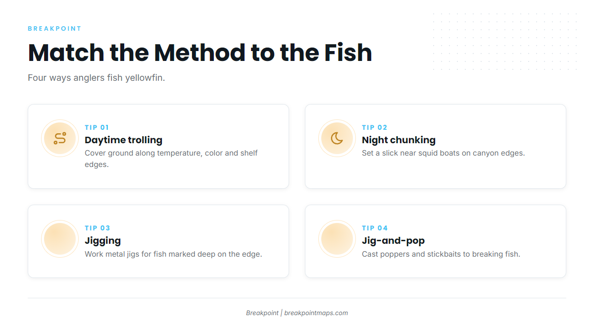
Match the method to where the fish sit.
Daytime Trolling
Where it works: temperature and color edges and the shelf edge, covering ground to find fish.
What it looks like: a spread that combines spreader bars and skirted ballyhoo, with daisy-chain teasers.
Night Chunking Near Squid Boats
Where it works: canyon edges at night, often around squid boats whose lights draw bait.
What it looks like: a steady chunk slick, with baits drifted back in it. Adjust the rhythm to the fish.
Jigging
Where it works: fish marked deep on the edge or feeding near bottom.
What it looks like: metal jigs dropped and worked back up, often alongside a chunk.
Jig-and-Pop Topwater
Where it works: breaking fish on edges and on the flats.
What it looks like: poppers and stickbaits cast to fish working the surface. This directed fishery grew out of the bluefin topwater craze, as described in the Northeast topwater yellowfin fishery.
Tackle, in Words
Tackle runs to stand-up trolling outfits, heavier chunking rods, and spinning or conventional popping gear, with fluorocarbon or mono leaders sized to the fish. Federal rules allow rod and reel (including downriggers), handline, and speargun on free-swimming fish. The same grounds hold bluefin, and much of the gear overlaps, as covered in the tuna fishing guides.
Handling: Bleeding and Icing
Bleed fish promptly and get them on ice. Keep the fish in a legal landing form:
- Round, or eviscerated with the head removed, with the tail and at least 1 pectoral fin attached.
- Tail lobes may be cut for storage only if the fork stays intact.
- A headless fish must still measure 27 inches from the forward edge of the cut to the fork of the tail.
- Use a gaff only at boatside on a fish already caught on rod and reel or handline.
Guides to yellowfin tuna fishing from specific ports: New London / Waterford, Indian River Inlet, Saco / Biddeford, Ocean City, Chatham, Atlantic City, Captree and Block Island.
FAQ
Do I need an HMS permit to fish for yellowfin tuna?
Yes. You need an HMS Angling or an HMS Charter/Headboat permit, and the permit covers everyone fishing aboard. Connecticut is the regional exception for coastal state waters, but federal rules still apply in federal waters.
What is the size limit for yellowfin tuna?
The minimum is 27 inches curved fork length. A headless fish must still measure 27 inches from the cut to the fork of the tail.
Is the yellowfin limit per trip or per day?
It is per person per day: 3 yellowfin. No more than 3 per person may be aboard regardless of trip length, so a multi-day trip does not stack limits.
Does landing in Connecticut change anything?
Connecticut possession rules apply to fish on Connecticut waters or the Connecticut shore wherever they were caught. DEEP points tunas to NOAA HMS. Check DEEP before you land.
How do I tell yellowfin from bluefin?
Yellowfin show long yellow sickle-shaped fins and yellow finlets. The difference matters because bluefin carry separate limits and a 24-hour reporting requirement. For more detail, see yellowfin identification in detail.
When do yellowfin show up in the Northeast?
From early summer into fall, following Gulf Stream water and eddies. Fall fish hold in the last warm water.
Which canyons hold yellowfin?
Hudson, Block, Atlantis, Veatch and Hydrographer canyons, plus the shelf edge between them. Where an edge sits over a canyon corner matters more than the canyon’s name.
Do the same rules apply on the West Coast?
No. Atlantic HMS rules cover the Atlantic, the Gulf and the Caribbean, not the Pacific. See yellowfin tuna fishing in the Pacific Southwest.
Before the next run, lay OBS SST and Chlorophyll over Chart Contours in Breakpoint, available on the App Store and Google Play, and pick the edge worth the fuel.