Cobia fishing off Charleston starts at the harbor channel buoys and the jetties, then moves to the nearshore SCDNR reefs. You launch at one of the county landings, run the entrance between the jetties, and check channel markers first, then the reefs and wrecks when the buoys are empty. Fish show in spring, hold into summer, and return in autumn. The rules change depending on which side of the 3-mile line you fish and which side of 32°31.0′ N you start from.
Gear, biology and the coast-wide picture are in the cobia fishing guide. Nothing here guarantees a fish; it gets you to the right buoy and reef with the right rules in mind.
Getting Out: Ramps, the Harbor Entrance and the Jetties
Five public landings serve the harbor and the rivers behind it, and the entrance between the jetties demands attention in a small boat.
Public Ramps
The Charleston County public boat landings are run by the Charleston County Park & Recreation Commission:
- Remley’s Point (Mount Pleasant)
- Shem Creek (Mount Pleasant)
- Paradise Boat Landing on the Wando River (Mount Pleasant)
- Wappoo Cut (West Ashley)
- W.O. Thomas Jr. (North Charleston)
Remley’s Point and Shem Creek sit closest to the harbor mouth on the Mount Pleasant side. Shem Creek runs out through a dredged channel from Mount Pleasant Channel. Seabreeze Marina and Toler’s Cove Marina list fuel.
Running the Entrance
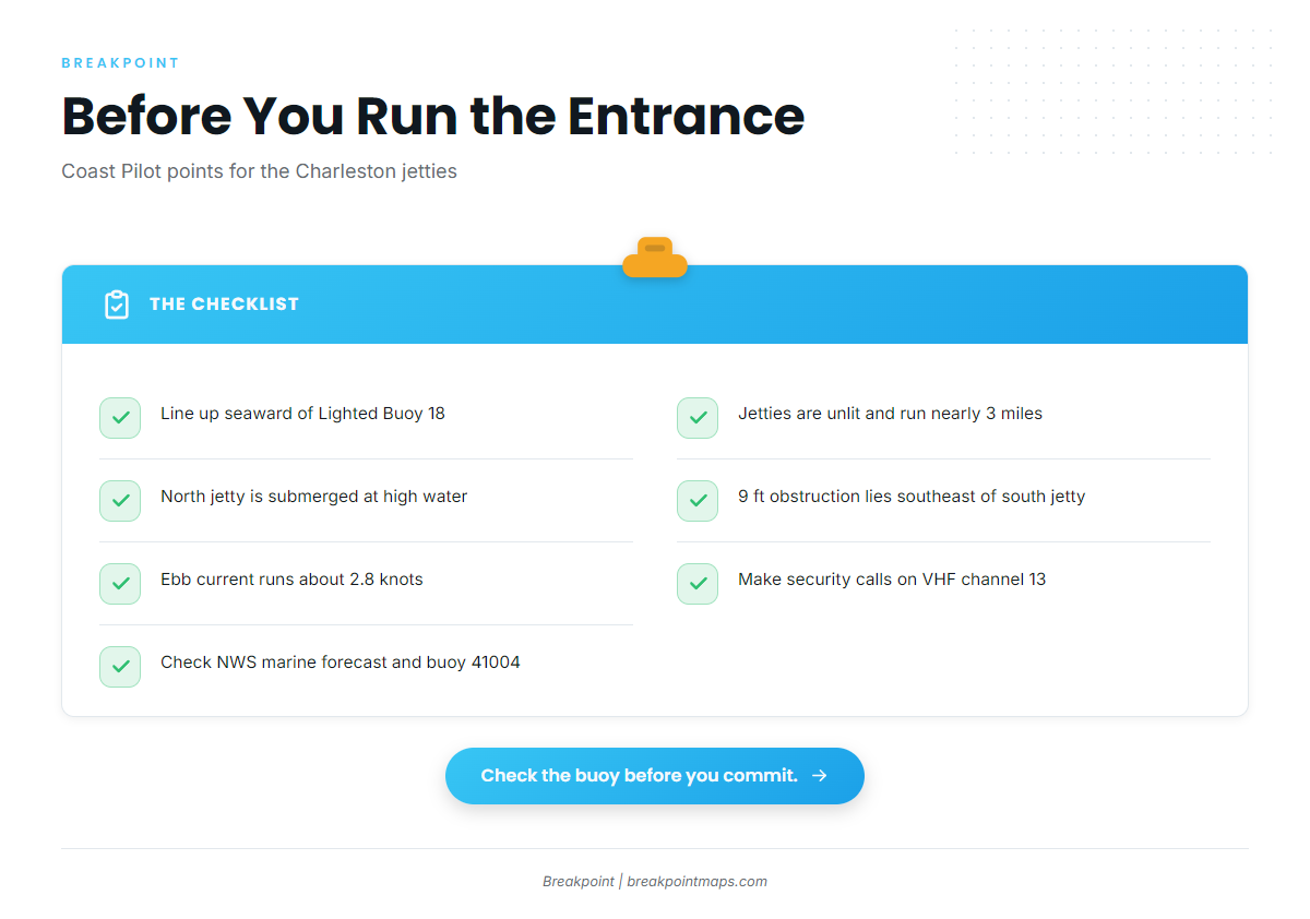
The NOAA Coast Pilot 4 Chapter 6 covers the approach. The points that matter to a small boat:
- The jetties converge and run nearly 3 miles seaward.
- The north jetty is almost completely submerged at mean high water.
- The jetties are unlit.
- Small craft coming from the north close to shore at high water can mistake the south jetty for the north one.
- Line up seaward of Lighted Buoy 18 before the final approach.
- A submerged obstruction with a least depth of 9 ft lies southeast of the south jetty’s outer end.
- A buoyed opening in the south jetty has a reported controlling depth of 20 ft.
Current matters at the mouth. Between the west end of the south jetty and the submerged jetty, the average current is about 1.2 knots on the flood and 2.8 knots on the ebb. Off the entrance, the current is rotary at about 1 knot. An inshore set of a knot or more can occur from indraft into nearby inlets, and tide rips form when wind opposes current.
Charleston Harbor is a deep-draft ship channel, and commercial traffic makes security calls on VHF channel 13. Passing ships raise surge and high waves in shallow water, even at minimal speed. At the ICW junction, westbound vessels are hard to see from seaward, and crosscurrents are strong and unpredictable. The waters east and southeast of the harbor are used extensively for military training.
For conditions, read the NWS Charleston marine forecast. NDBC Station 41004 (Edisto, 41 NM southeast of Charleston) reports observed wind, wave height and period. Check the buoy against the forecast before you commit.
Where to Look for Cobia off Charleston
Start at the harbor buoys and jetties, and move to the SCDNR reefs when the shallow structure is empty.
Channel Buoys and the Jetties
Begin with the harbor shipping channel buoys and markers, then the jetty rocks. The nearshore zone from Sullivan’s Island toward Isle of Palms is the standing local area during the spring run. A single can or marker can hold more than one fish, and a cobia circling one buoy is a classic sight. A buoy that held fish yesterday says nothing about today.
SCDNR Artificial Reefs
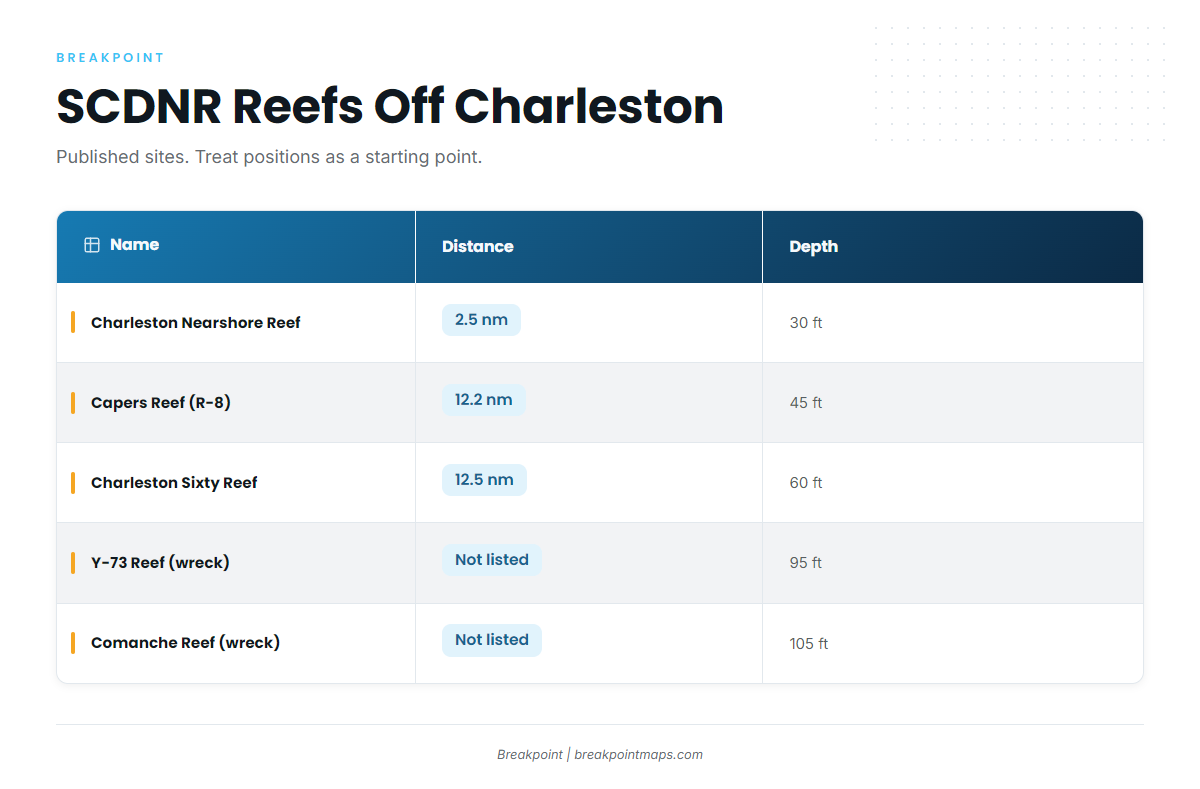
When the buoys are empty, fish sit deeper on reefs and wrecks. These are the named sites near the entrance:
| Name | Type | Distance from entrance | Depth |
|---|---|---|---|
| Charleston Nearshore Reef | Reef | 2.5 nm | 30 ft |
| Capers Reef (R-8) | Reef | 12.2 nm | 45 ft |
| Charleston Sixty Reef | Reef | 12.5 nm | 60 ft |
| Y-73 Reef | Wreck | Not listed | 95 ft |
| Comanche Reef | Wreck | Not listed | 105 ft |
Charleston Nearshore Reef sits inside the 3-mile state line. Capers and Charleston Sixty sit well outside it, in federal waters, and that split determines which rules apply.
On artificial reefs declared special management zones, possession of coastal migratory pelagics, cobia included, is limited to the recreational bag limit.
Reef positions are published sites, and the material on them shifts and settles, so treat a listed position as a starting point. Loading these reefs over the Chart Contours layer in Breakpoint helps you plan a buoy-to-reef route. Chart layers are not for navigation.
When Cobia Show Up
Cobia arrive in spring, hold into summer, and show again in autumn, following the South Carolina seasonal species listing. Spring fish move north along the coast, often with cownose rays.
| Season | What to expect |
|---|---|
| Spring | First arrivals along the coast, often with cownose rays |
| Summer | Fish hold on buoys, reefs and wrecks |
| Autumn | A secondary showing |
The calendar tells you when to start looking, not where the fish are on a given day.
Tactics for Cobia Fishing off Charleston
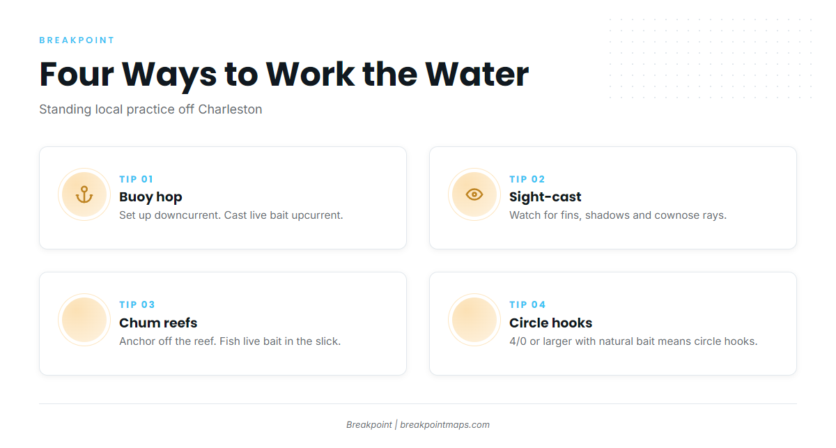
Match the method to the structure: buoys reward a quiet approach and live bait, open water rewards sharp eyes, and reefs reward patience at anchor.
Buoy Hopping
- Run the channel buoys and markers in order.
- On the incoming tide, fish hold on the upcurrent side waiting for bait.
- Set up downcurrent and cast live bait to the upcurrent side so it drifts back under the structure.
- Approach slowly, off-axis.
Sight-Casting
- Work from the bow, or the tower if you have one.
- Look for fins, dark shadows, and cownose rays or sea turtles with a fish riding along.
- Cast ahead of the ray’s path, not at the cobia’s tail.
- Bucktails and live eels are the standard offerings.
Anchoring and Chumming on Reefs
- Anchor off the reef, upcurrent or to the side, rather than on top of it. Fish patrol the perimeter.
- Chum and fish live menhaden, pinfish or eels back in the slick.
- Use this approach when nothing is showing at the buoys.
Hooks and Landing
- Natural bait on a hook of 4/0 or larger requires non-offset, non-stainless circle hooks under South Carolina rules. The rule is covered under Regulations.
- Decide your landing plan, gaff or net, before the first cast.
- Play the fish out fully before it comes over the gunwale.
Frequently Asked Questions
When do cobia show up off Charleston?
Cobia arrive in spring, hold into summer, and show again in autumn, per the South Carolina seasonal listing. Use the calendar to decide when to start looking, then check the buoys and reefs for fish.
Is the harbor inside the May closure?
No. The line is 32°31.0′ N, south of the harbor entrance, so harbor and jetty trips sit north of it. State waters south of the line close to cobia harvest in May.
What is the size limit in federal waters?
36 inches fork length. The bag is 1 per person or 6 per vessel per day, whichever is more restrictive, and the stricter South Carolina rule applies when you land.
Do I need a license on my own boat?
Yes, for anyone 16 or older harvesting in South Carolina saltwater. Buy through GoOutdoorsSC. Annual nonresident licenses are $75, with 7-day and 1-day options.
Can I sell cobia?
No. Cobia is a South Carolina game fish, so native-caught fish cannot be sold or taken with nets.
Which hooks are required with live bait?
With natural bait on a hook of 4/0 or larger, use non-offset, non-stainless circle hooks. Smaller hooks and artificial lures are not restricted.