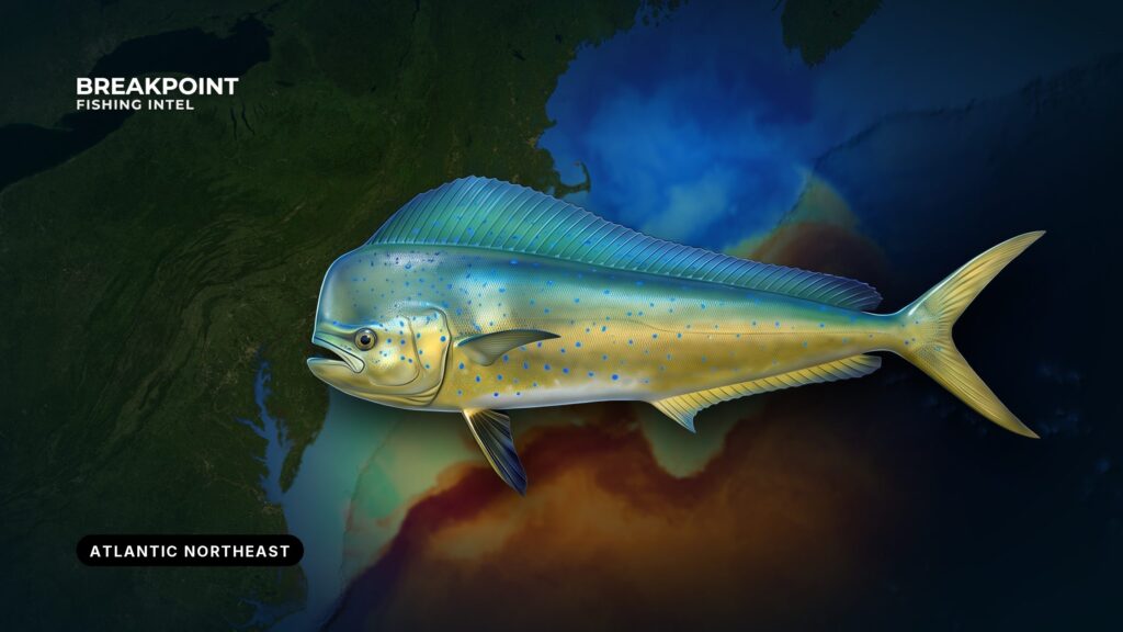
Mahi ride Gulf Stream water and warm-core eddies into the Northeast in late summer and fall, holding on the edges and floating structure that blue water brings onto the shelf. Fishing them here means finding that water first, then the structure under it. This guide covers where the fish show, what holds them, how they’re fished, and how the rules split between federal and state waters. Find the water on OBS SST and Chlorophyll, then the structure on Chart Contours. We can’t promise fish, but we can help you decide where to look.
What Mahi-Mahi Are: A Quick ID and Biology Summary
Dolphinfish (Coryphaena hippurus), also called mahi-mahi or dorado, are not related to the marine mammal. They are blue-green and gold, with a long dorsal fin that runs most of the back, and bulls carry a steep, blunt forehead. They are fast-growing, short-lived pelagics that school around floating cover. Anglers call the small school fish "schoolies" and the big ones "bulls" or "gaffers." Full identification, life history and handling are in our mahi-mahi species guide.
When and Where Mahi Show Up in the Atlantic Northeast
Mahi are Gulf Stream fish. They travel north with the warm blue water and reach the shelf edge when the Stream or a warm-core eddy pushes that water against the canyons. The same fish pass the Carolinas and Florida first, covered in mahi-mahi fishing in the Atlantic Southeast. In the Northeast they are seasonal and arrive with the water; they are not here most of the year.
The season follows a pattern:
- Warm-water fish start reaching canyon water in early summer.
- Numbers build through late summer and peak into early fall.
- The run lasts as long as warm blue water holds on the edge.
- The trigger is water temperature and color, not the calendar.
For the region’s canyons, shelf and full species calendar, see the Atlantic Northeast fishing guide.
The grounds are the same each year. Hudson, Block, Atlantis, Veatch and Hydrographer Canyons run along the shelf edge, and inside them sit the flats, where fixed lobster gear holds life. Warm-core eddies peel off the Gulf Stream and drift toward the shelf, carrying blue water with them. How far you run depends on where that water sits on a given day. Some years it pushes onto the inshore pot lines, and other years it stays out at the canyon edge.
| Ground | What it offers |
|---|---|
| Hudson Canyon | Shelf-edge relief where blue water can meet green |
| Block Canyon | Canyon walls and edges to the east |
| Atlantis and Veatch Canyons | Edge and wall structure for overnight canyon trips |
| Hydrographer Canyon | Eastern end of the canyon run |
| Flats inside the canyons | Fixed lobster gear that holds mahi |
| Warm-core eddies | Moving blue water that brings fish toward the shelf |
The Water and Structure That Hold Mahi
Edges: Temperature and Color Breaks
A temperature break is where warm Gulf Stream or eddy water meets cooler shelf water. Bait gathers along it and mahi feed along it, so target warm blue water just off the edge.
A color break works the same way. Use the Chlorophyll layer to see where clean blue water meets greener shelf water. Weed lines near that edge add cover and food.
While you run and troll, check the satellite picture against your sounder’s water-temperature readout, which shows the true shape and location of the break.
The satellite data has limits:
- Cloud blocks satellite SST passes.
- Surface temperature does not show what sits below.
- Edges move between passes, so a picture is a starting point.
Structure: From Canyon Walls to High-Flyers
Read the walls and shelf break on Chart Contours. The best water is where an edge sits over that relief, and the more permanent the structure, the more consistently it holds fish.
Floating cover matters as much as the bottom. Sargassum, weed lines and floating debris give mahi shelter and food. On the flats inside the canyons, high-flyers and lobster pots hold fish that never touch a canyon wall.
What to look for:
- A temperature break on OBS SST
- A blue-green color change on Chlorophyll
- An edge that crosses canyon walls on Chart Contours
- Weed lines, sargassum mats and floating debris
- High-flyers and lobster pot lines on the flats
- Birds and bait working the surface
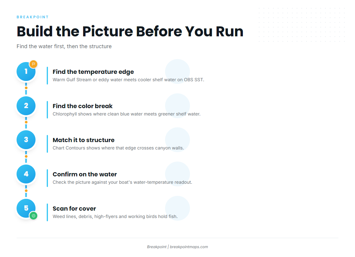
Build the picture before you run. OBS SST shows the edge, Chlorophyll shows the blue-green line, and Chart Contours shows where that line crosses the canyon walls. Use the latest clear pass and treat older pictures as a starting point.
How Anglers Fish Mahi in the Northeast
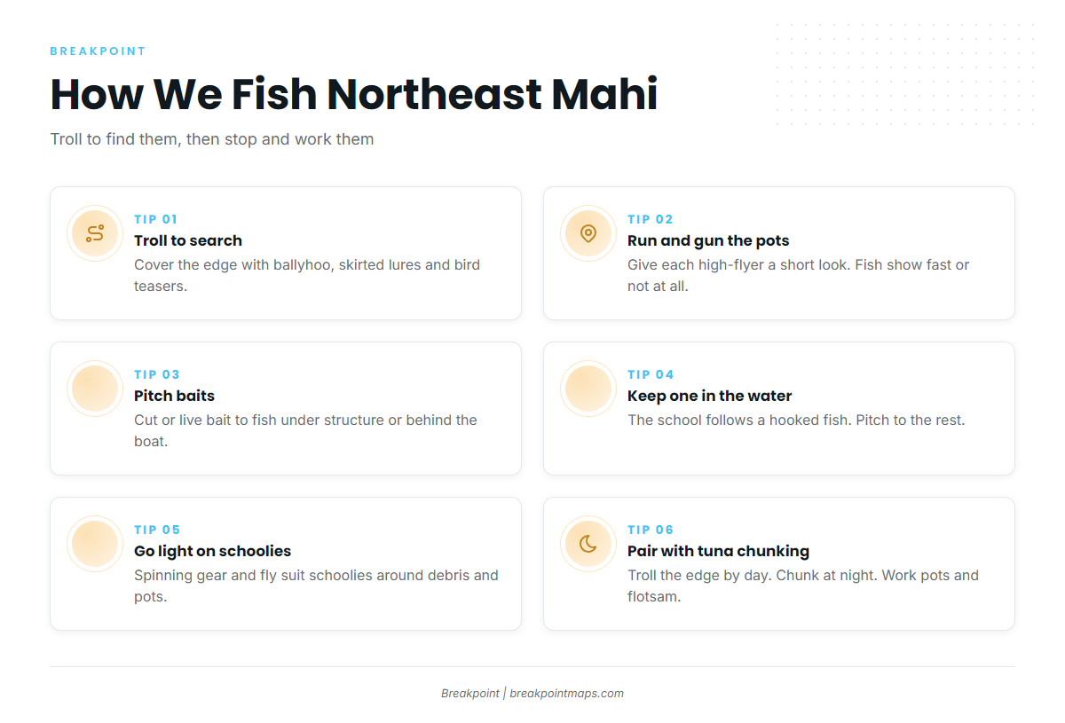
The usual approach is to troll to find fish, then stop and work them.
- Troll to search. Cover the edge with a spread of ballyhoo and skirted lures, and add feathers or bird teasers. Work along the break and past weed lines until a fish shows.
- Run and gun the pots. Hop high-flyers and lobster pot lines on the flats. If a marker holds fish, they usually show quickly, so give each marker a short look and move on.
- Pitch baits. Pitch cut or live bait to fish that show under structure or behind the boat.
- Keep a hooked fish in the water. The school follows the hooked fish. Keep it near the boat while others pitch to the school.
- Fish light spinning tackle or fly on schoolies. Schoolies around debris and pots suit light spinning gear and fly. Bulls come more often to deliberate targeting of the bigger structure and edges.
- Combine with tuna chunking overnight. On canyon overnighters, troll the edge by day, chunk for tuna at night, and work mahi on pots and flotsam. Tuna and wahoo tactics for the same runs are in our offshore gamefish guides.
On the long run offshore, watch wind, wave height and period, and check the official NWS marine forecast before you leave. Plan the run on OBS SST, Chlorophyll and Chart Contours before you leave the dock. Chart layers are not for navigation.
Guides to mahi-mahi fishing from specific ports: New London / Waterford, Indian River Inlet, Ocean City, Falmouth / Woods Hole, Atlantic City, Captree, Block Island and Chincoteague.
Frequently Asked Questions
Can you catch mahi-mahi in New England?
Yes. When Gulf Stream water or a warm-core eddy reaches the shelf off southern New England, mahi follow it. They hold on edges, weed lines and pot gear from the Hudson to the Hydrographer Canyon area. We can’t promise fish on any given day, but we can help you decide where to look.
When is mahi season in the Northeast?
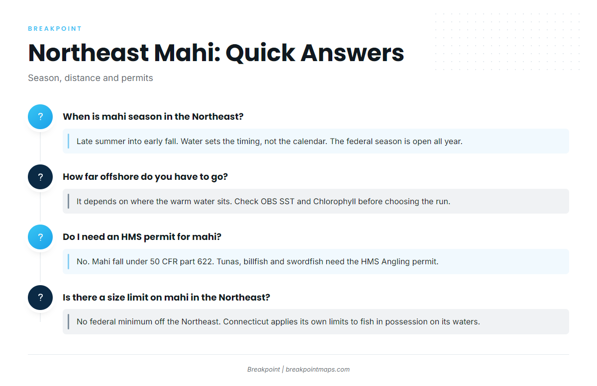
Late summer into early fall, set by the water rather than the calendar. Fish arrive with warm blue water and leave when it retreats. The federal season is open all year.
How far offshore do you have to go?
It depends on where the warm water sits. Some days it reaches the inshore pot lines, and other days only the canyon edge. Check OBS SST and Chlorophyll before you choose the run.
Do I need an HMS permit for mahi?
Not for mahi, which are managed under 50 CFR part 622, not HMS. You need the HMS Angling permit if you target tunas, billfish or swordfish in federal waters, which is common on canyon trips. For-hire boats need the Federal charter vessel/headboat permit for dolphin and wahoo.
Is there a size limit on mahi in the Northeast?
There is no federal minimum size off the Northeast. The 20-inch fork length minimum applies off Florida, Georgia and South Carolina. Fish must be landed with head and fins intact. Connecticut applies its own limits to fish in possession on its waters, so check DEEP.
How does Northeast mahi fishing differ from the Southeast and other regions?
In the Northeast the run is seasonal and tied to the arrival of Gulf Stream water. Pot lines on the flats are a regional structure, and the rules differ, with no federal size minimum here. For the same fish farther south, see mahi-mahi fishing in the Atlantic Southeast. For other coasts, see mahi-mahi fishing in the Gulf of Mexico and mahi-mahi fishing in the Pacific Southwest for the West Coast counterpart.