



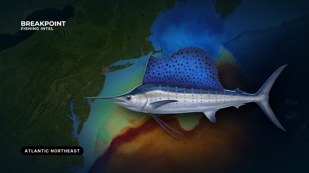
Sailfish fishing in the Atlantic Northeast depends on conditions. The fish reach the Gulf of Maine edge of their range in warm seasons, riding Gulf Stream water and warm-core eddies toward the canyons. They turn up as a bonus in a billfish spread and are not a reliable target. No trip can promise one, but the water and structure can tell you where to look.
Where and when sailfish show up
According to the North Carolina Division of Marine Fisheries, the range of sailfish reaches the Gulf of Maine. At the northern extremes of that range they appear during warm seasons. They are visitors here, not residents.
The Gulf Stream brings them. Warm-core eddies spin off the main current and drift toward the shelf. Where they meet colder slope water at the canyon edges, bait gathers and pelagic fish follow, which is why warm eddies reach canyon edges and bring billfish with them. For canyon runs and species more broadly, see our guide to offshore fishing across the Atlantic Northeast.
Timing follows water temperature rather than the calendar. Sailfish become possible when water in the 70s reaches the edge. That varies year to year with Gulf Stream and eddy behavior, so a fixed month window would mislead.
The odds are modest. White marlin, tuna and mahi are the reason for the run, and a sailfish is a bonus. If sailfish are the whole point of the trip, sailfish in the Atlantic Southeast is where to go. The fish run up the Gulf Stream from Florida and the Carolinas, where they are a primary target.
How the pieces fit in the Northeast:
- Source water: Gulf Stream and its warm-core eddies.
- Where it lands: canyon edges along the shelf break.
- What it brings: bait, then white marlin, tuna, mahi and the occasional sailfish.
- What drives timing: the arrival of warm water, not a date.
The water and structure that hold them
Temperature
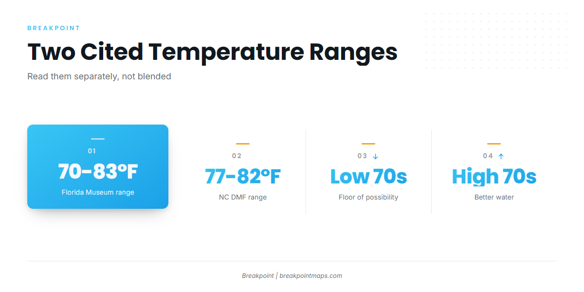
Two sources give two ranges, shown separately here rather than blended.
| Source | Temperature range |
|---|---|
| Florida Museum species profile | 70 to 83°F |
| North Carolina Division of Marine Fisheries | 77 to 82°F |
Taken together, the low 70s mark the floor of possibility and the high 70s are better water.
Breaks, canyon walls and the 100-fathom edge
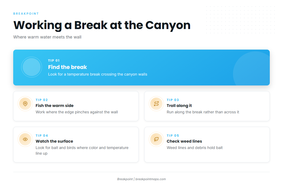
The canyons along the 100-fathom edge include Hudson, Block, Atlantis, Veatch, Hydrographer and Lindenkohl. The best setup is a temperature break that crosses the canyon walls. To read it:
- Work the warm side. Fish the side of the break where the warm edge pinches against the wall.
- Troll along the break. Running along it keeps your spread in the transition longer than crossing it.
- Look for alignment. Bait and birds are best where color and temperature line up.
Surface structure matters too:
- Color edges, where green water meets blue.
- Weed lines and floating debris.
- Bait schools. Sailfish take halfbeaks, mackerels, jacks and squid and other cephalopods.
Reading the edge on the map
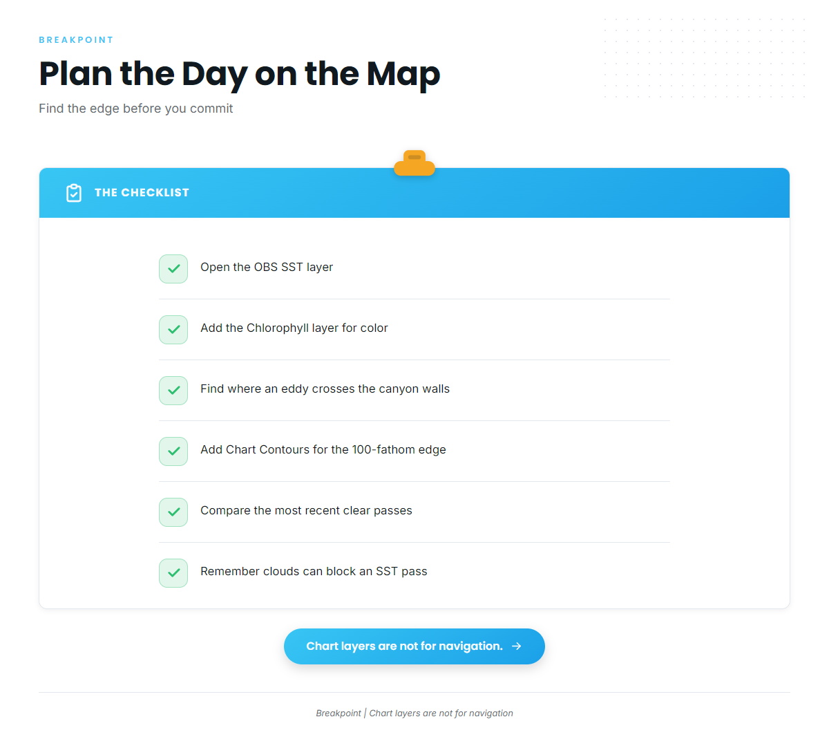
Build your day around the OBS SST and Chlorophyll layers to find where a warm-core eddy or Gulf Stream edge crosses the canyon walls. Add Chart Contours to put the 100-fathom edge under it.
The data has limits. A cloud can block an SST pass, chlorophyll shows color rather than fish, and eddies move between passes, so compare the most recent clear passes. Chart layers are not for navigation.
How anglers fish for them here
Sailfish in the Northeast come up in the same spread anglers pull for white marlin. If you are building that spread from scratch, start with our billfish fishing guides.
A typical billfish spread includes:
- Ballyhoo, rigged naked or under a skirt. Almost everything eats ballyhoo.
- Artificial lures, making up roughly half the spread alongside the natural baits.
- Teasers to raise fish.
- Mullet as an alternative natural bait.
Circle hooks are the standard with natural bait for billfish. They hook in the jaw and support release. Check NOAA HMS for hook requirements before you fish, covered in the Regulations section below.
Keep a rigged bait ready to pitch. When a fish rises on a teaser, drop the bait back, let the fish eat, and come tight without a hard hookset on a circle hook. Lighter gear makes a sailfish worth the bonus.
Handle the release with care. Keep the fish in the water and revive it by holding it upright with water moving over the gills until it kicks off. Check where the edge sits on the map before you commit to the run.
Identifying sailfish
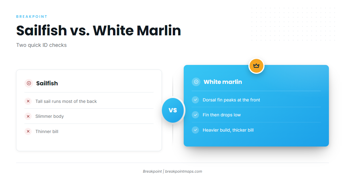
The tall sail runs most of the length of the back. On a white marlin, the dorsal fin peaks at the front and then drops low. A sailfish is also slimmer and has a thinner bill. Sailfish feed near the surface on bait fish and squid, which ties back to the bait you run. For the full identification and biology in our sailfish guide, start there.
Guides to sailfish fishing from specific ports: Ocean City, Oregon Inlet and Virginia Beach.
FAQ
Are there sailfish in the Northeast?
Yes, as an occasional bonus in warm seasons. Gulf Stream water and eddies carry them to the canyons. White marlin, tuna and mahi are the reason for the run.
How far north do sailfish go?
Their range reaches the Gulf of Maine. They appear at the northern edge only in warm seasons.
What water temperature holds them?
The Florida Museum gives 70 to 83°F. The North Carolina Division of Marine Fisheries gives 77 to 82°F. Temperature breaks that cross the canyon walls matter as much as the number.
Do I need an HMS permit for sailfish?
Yes. Fishing for or keeping sailfish in federal waters requires an HMS Angling or Charter/Headboat permit from NOAA Fisheries.
Can I keep a sailfish?
Federally, the minimum is 63 inches LJFL. A landed fish must be reported to NOAA Fisheries. Check the NOAA HMS rules before fishing.
Do federal rules apply in state waters?
For federal HMS permit holders, yes, unless the state rule is stricter. Federal and state limits do not stack.
How do you tell a sailfish from a white marlin?
The sailfish has a tall sail running most of its back. The white marlin’s dorsal fin peaks at the front and drops low. The sailfish is also slimmer and has a thinner bill.